
GPS
The RC500 has a built-in location source and can forward live position to a remote collector - for example a CAD, AVL, or fleet-tracking system. Configure it under Services - GPS Stream.
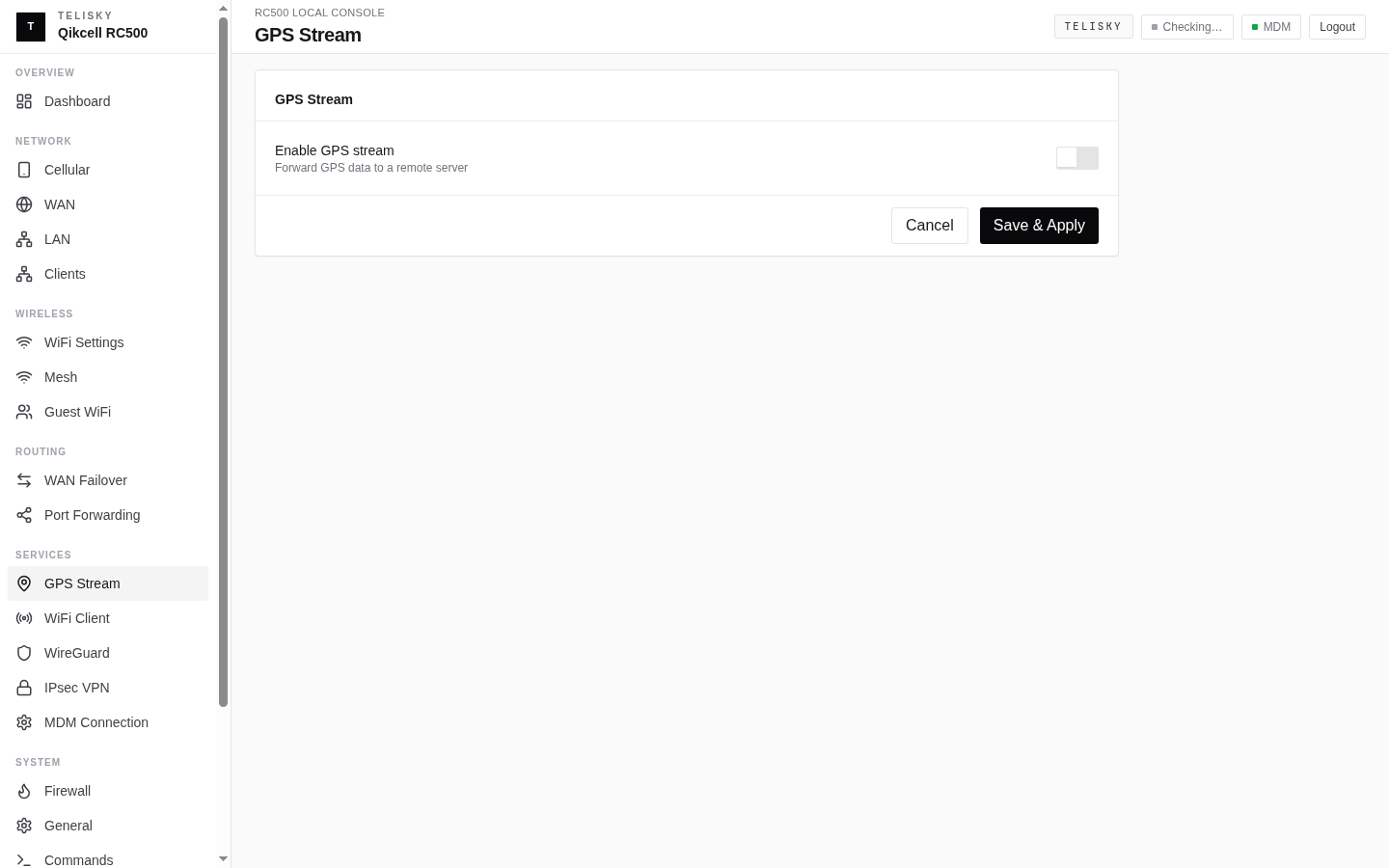
Configuration
Section titled “Configuration”| Setting | Description | Default |
|---|---|---|
| Enable | Turn the GPS stream on or off | Disabled |
| Protocol | Send over UDP or TCP | UDP |
| Host | The collector’s address | Empty |
| Port | The collector’s port | 5000 |
| Format | The output format (see below) | NMEA |
| Interval | Seconds between position reports | 10 |
| Stationary distance | How far the device must move before a new report when parked | 20 |
| Client name | An optional label for this stream | Empty |
Output formats
Section titled “Output formats”- NMEA - the most widely supported location text format; works with most tracking systems. Sensible sentence defaults are set for you; advanced users can adjust which sentence types are sent as an optional output setting.
- JSON - structured data for integrations that prefer it over NMEA.
- TAIP - used by some fleet systems; an agency ID and checksum behavior can be set as advanced options.
Placement
Section titled “Placement”For the best location performance:
- Give the device the clearest possible view of the sky.
- Avoid mounting under metal roofs or inside RF-blocking cabinets.
- Keep the enclosure away from large metal surfaces that block reception.
Where the location appears
Section titled “Where the location appears”When the router is managed in the cloud, its location can appear on the Fleet Map. The GPS stream described here is a separate, direct feed to your own collector.
Cloud location reporting and GPS Stream are separate. Current RC500 firmware builds send GPS status and position to MDM by default, while GPS Stream remains disabled until you configure a collector. An explicit cloud-location opt-out is preserved across later upgrades and strips GPS and cell-location fields from cloud telemetry without disabling the local GPS receiver or GPS Stream.
Troubleshooting
Section titled “Troubleshooting”| Symptom | Likely cause | What to try |
|---|---|---|
| No fix | Indoor or obstructed install | Move to a clearer sky view |
| Poor accuracy | Few satellites or reflections | Improve placement |
| Intermittent fix | RF obstruction or interference | Move away from metal and RF noise |
| No data at the collector | Stream disabled or wrong destination | Enable the stream and check host/port |
| MDM location unavailable while the router is online | Cloud location reporting is disabled or the firmware is older | Check the installed firmware and contact support to verify the location-reporting policy |