
Fleet Map
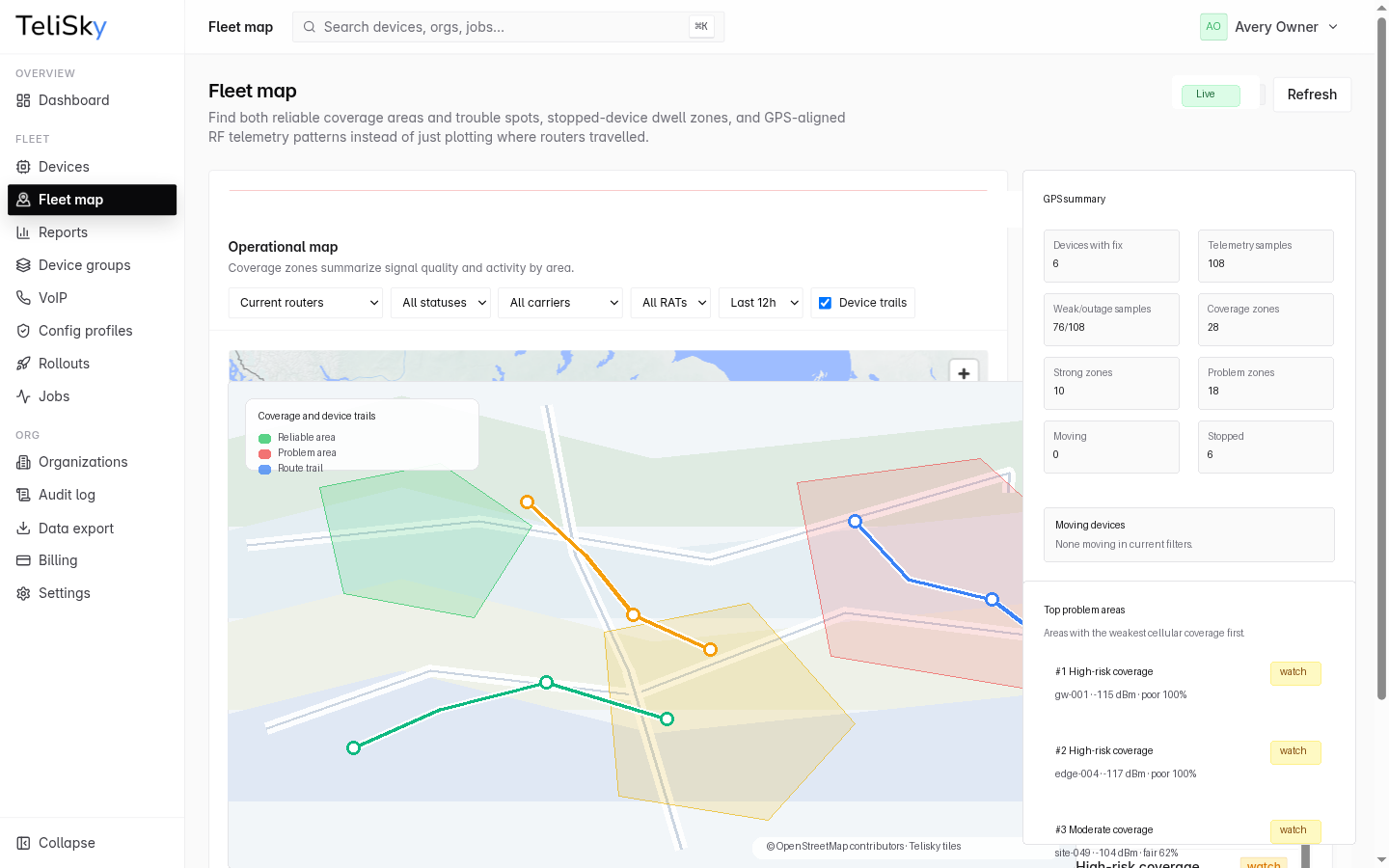
The Fleet Map plots your GPS-capable devices on a live map. It does more than show where routers have travelled - it helps you find both reliable coverage areas and trouble spots, stopped-device dwell zones, and how signal lines up with location.
What the map shows
Section titled “What the map shows”| View | What it shows |
|---|---|
| Live locations | Where your devices are now |
| History | Where devices have been over a time window |
| Trouble spots | Places where devices struggle to stay connected |
| Coverage areas | Where connectivity has been reliable |
| Signal | A heatmap of cellular signal quality aligned to location |
| Speed | A heatmap of how fast devices were moving |
| Dwell zones | Where devices stopped and stayed |
Switch between these with the map’s mode selector, and narrow what you see with the status filter and time window.
Reading signal on the map
Section titled “Reading signal on the map”Because signal is aligned to location, the map can show where coverage is weak, not just that it is weak - useful for planning routes, antenna placement, or which connection to prioritize.